 By
By 
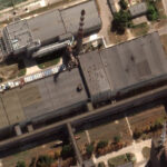
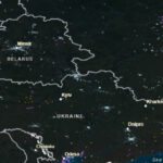
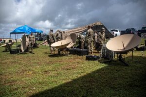
AURORA, Colo.—The U.S. has introduced a tactical imagery system in Europe that acquires high-resolution imagery and maps areas of interest in poor weather conditions that can hinder the performance of remote sensing satellites, a senior military official said on Monday. Navy Vice Adm. Robert Sharp, director of the National Geospatial Intelligence Agency (NGA), said that in March “we had teammates who went to U.S. European Command area of operations, to train some military partners on the Aerial Reconnaissance Tactical Edge…