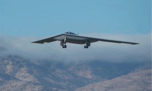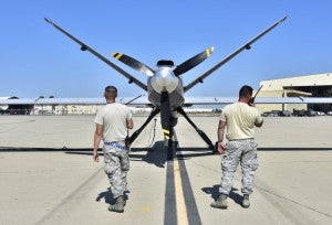
Amidst heavy smoke, “fire tornadoes,” and combat-zone like conditions, the California Army National Guard (CANG) is relying on the MQ-9 Reaper unmanned aerial vehicle to relay critical video and thermal imaging data to fight back against the largest fire in the state’s history.
Maj. Gen. Matthew Beevers, the CANG’s deputy adjutant general, told reporters Wednesday the General Atomics-built MQ-9 is helping the National Guard and its California Department of Forestry and Fire Protection partners establish fire lines needed to more effectively conduct evacuations and clear areas in danger.
“We currently fly the MQ-9 Reaper on every major fire during this fire season. What that aircraft allows us to do is to map the very aggressive fire behavior in real-time. And that gives the incident commander fighting these fires extraordinary decision support. They can make real-time decisions to save lives, mitigate human suffering and save property,” Beevers said.
CANG has brought in 10 UH-60 Blackhawks, a CH-47 Chinook helicopter, a LUH-72 Lakota helicopter, a C-12 Huron, a RC-26 Metroliner, a HH-60 Pave Hawk and four C-130s, along with 969 National Guard soldiers and airmen, to fight the 760,000 acres of fire.
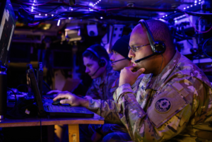
Staff Sgt. James Brown, from the Air Force’s 149th Intelligence Squadron, said the MQ-9 is providing 24-hour data feeds to incident responders to pinpoint the firefighting effort.
“We are able to task the MQ-9 Reaper, as well as the RC-26 and the UH-72, to do remote sensing and basically record video that our imagery analysts are able to relay back to the incident commanders,” Brown said. “What we’re able to see is exactly where the fires are in relation to burned infrastructure or damaged homes, even all the trees in relation to that fire line. Fortunately, we’re able to use our sensors to be able to make the calls to protect individuals who could be under threat from the fire within their area.”
The MQ-9’s infrared capability allows operators to see through significant amounts of smoke and provides heat imaging data to help predict where fires are may be headed.
“We are able to see the fire line as it exists currently. [The Reaper] shows a change in heat, so we’re often able to see what recently might have just burned. But the big focus in the field of view of the sensor is going to be where the fire is currently,” Brown said.
Beevers said most of the major fires around the state are around 60 to 70 percent contained, with the Donnell fire down south only about 25 percent contained.
Sgt. Julian Ross, crew chief for CANG’s Task Force MEDEVAC, compared current situations to a combat zone with rising winds and heavy smoke causing dangerous “fire tornadoes.”
“It’s like being in a combat, just that we’re not getting shot at. But there’s a lot of dangers that we have to deal with, like other aircraft. There’s a fire we’re trying to put out. There’s people on the ground that we’re trying to protect, structures we’re trying to protect,”Ross said, whose team is tasked with flying the aircraft dumping water on the fires.
The tornado-like conditions have the potential to pull down helicopters that get caught in the wind. Beevers said the smoke is also causing cloud cover concerns for launch and recovery missions, not just for helicopters, but the fixed wing aircraft as well.
“You can tell over the last four or five years these fires are getting bigger. They’re burning more erratically,” Beevers said.